
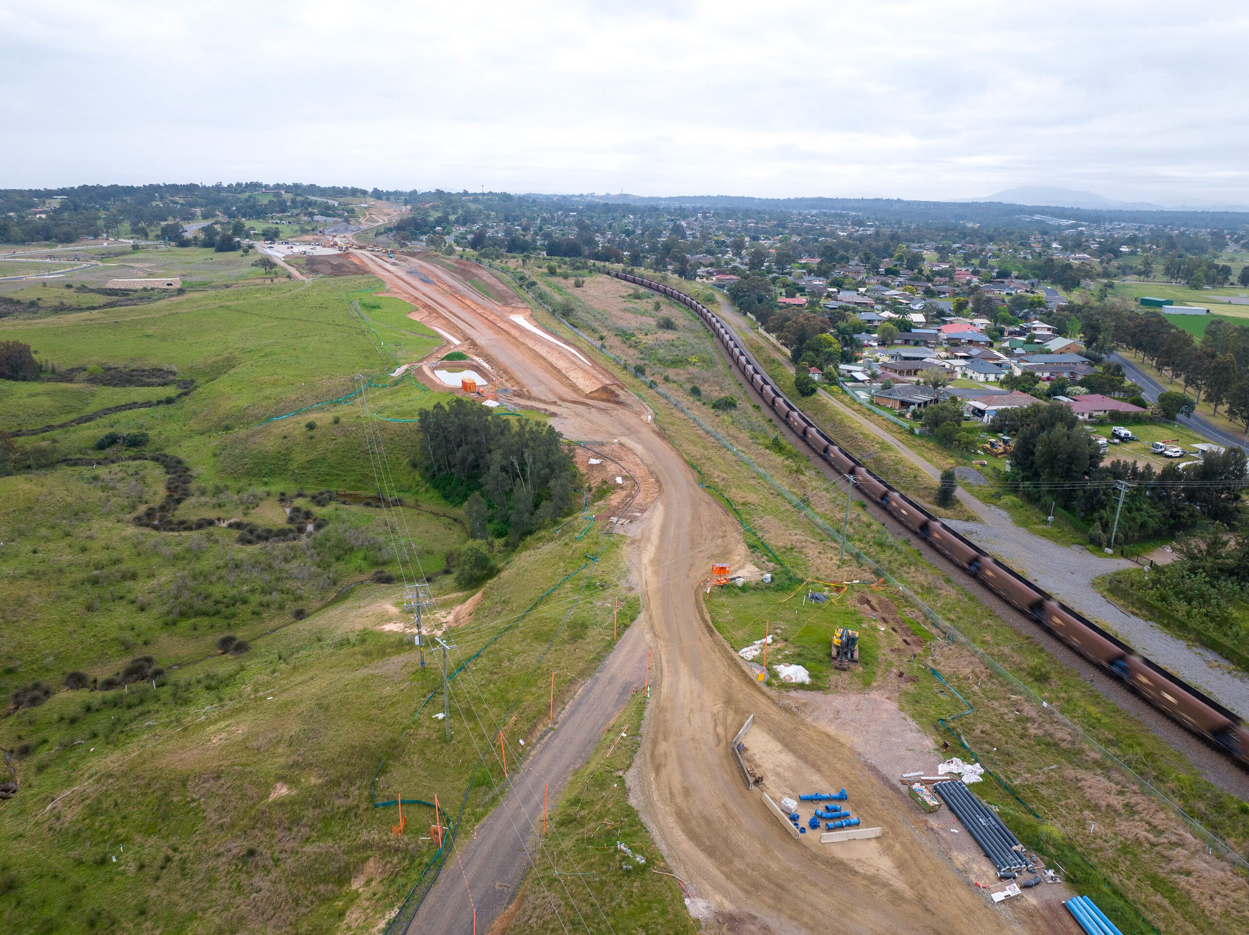
Singleton Bypass
Singleton Bypass reshapes movement through the Upper Hunter
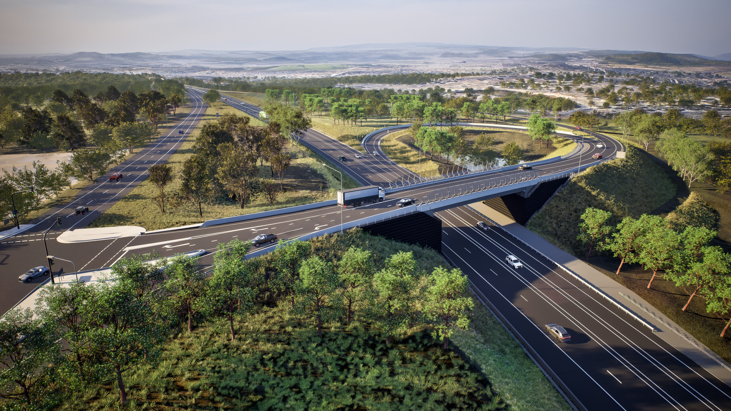
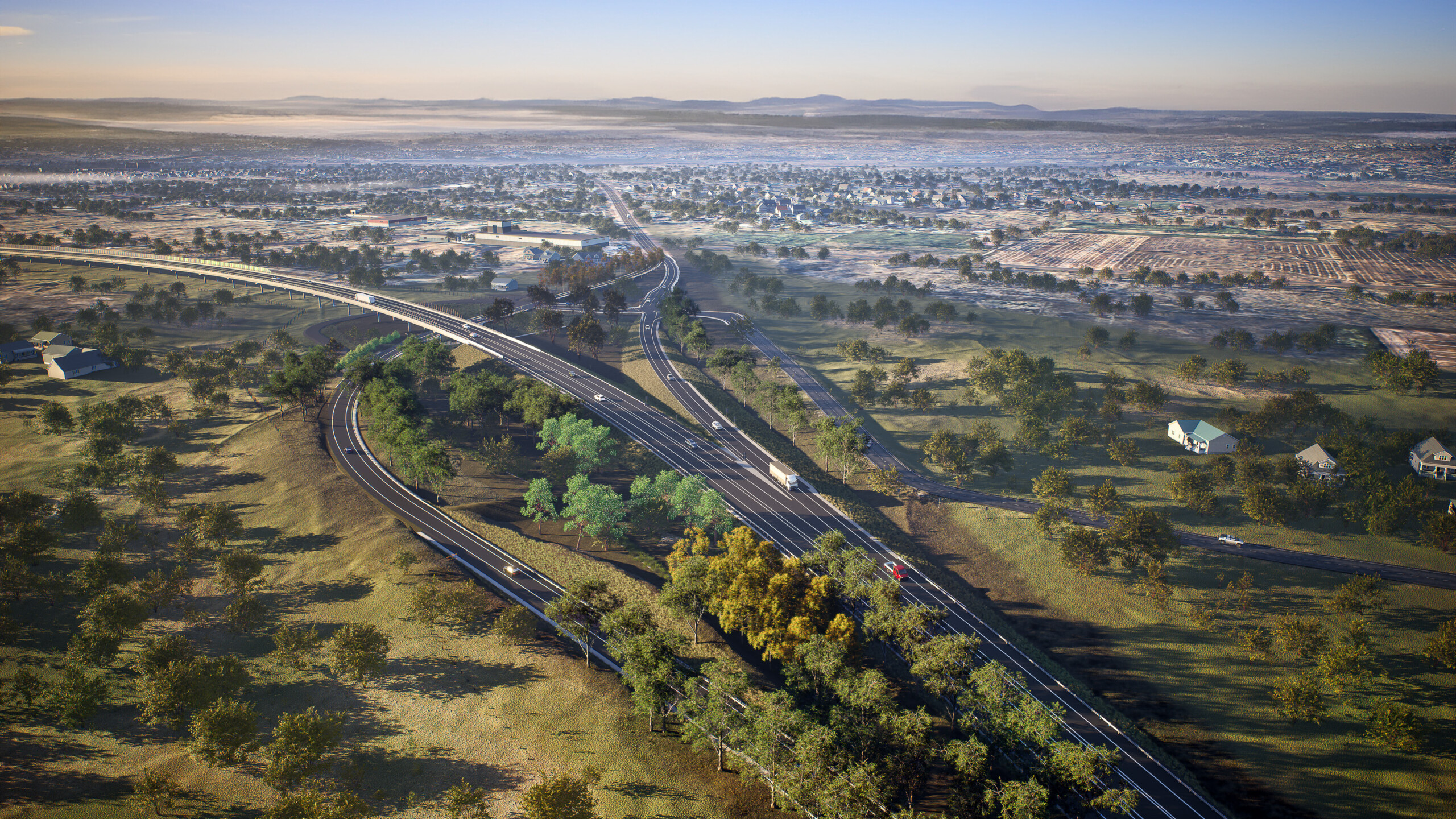
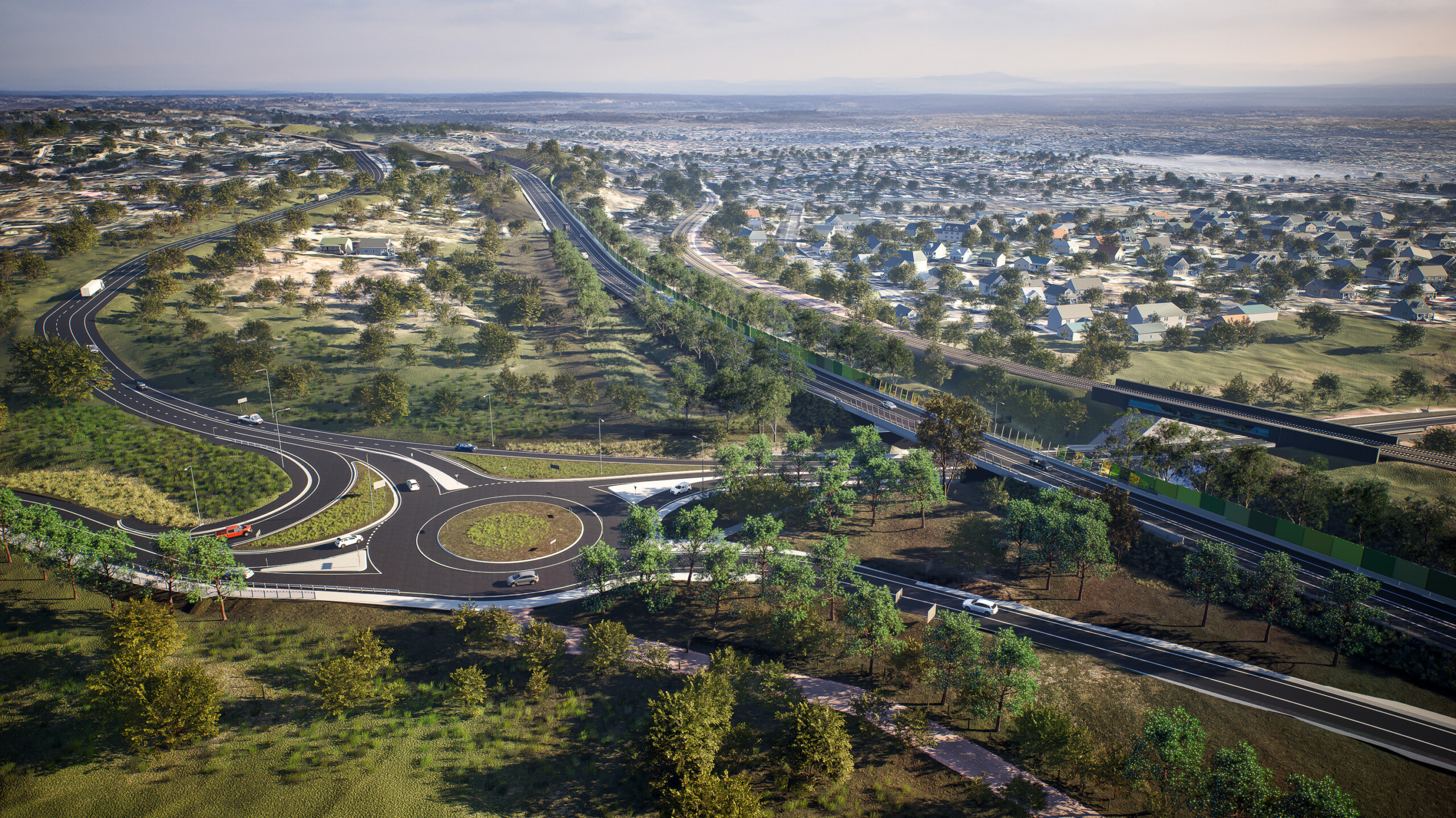
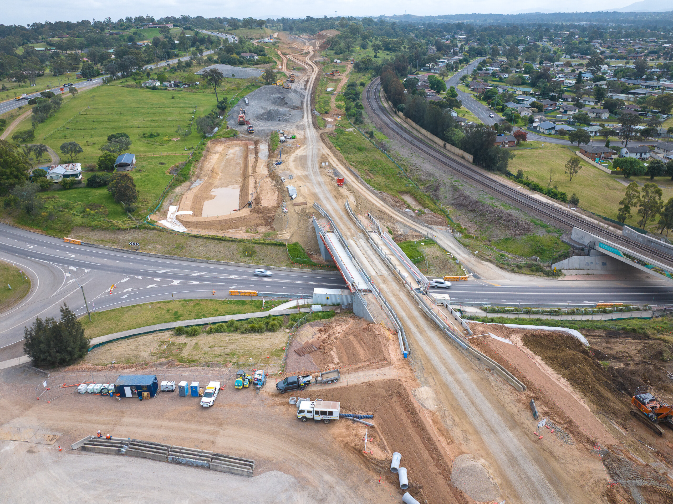
At eight kilometres long, Singleton Bypass is one of the largest infrastructure investments in the township’s history—a major road upgrade set to greatly improve the Upper Hunter region’s road safety and commuter experience. It achieves this through a solution which allows traffic to bypass five sets of lights in the Singleton CBD, diverting heavy freight and industry transport away from the regional CBD.
Located on the New England Highway, the current road is a major freight and commuter route, passing through Singleton on the main road through the town. The route is pivotal to the freight of local goods across Australia and abroad, connecting to the major centres of Newcastle and Sydney. As a result, and in conjunction with mining activities in the region, the road accommodates a high volume of oversize overmass vehicles and trucks daily.
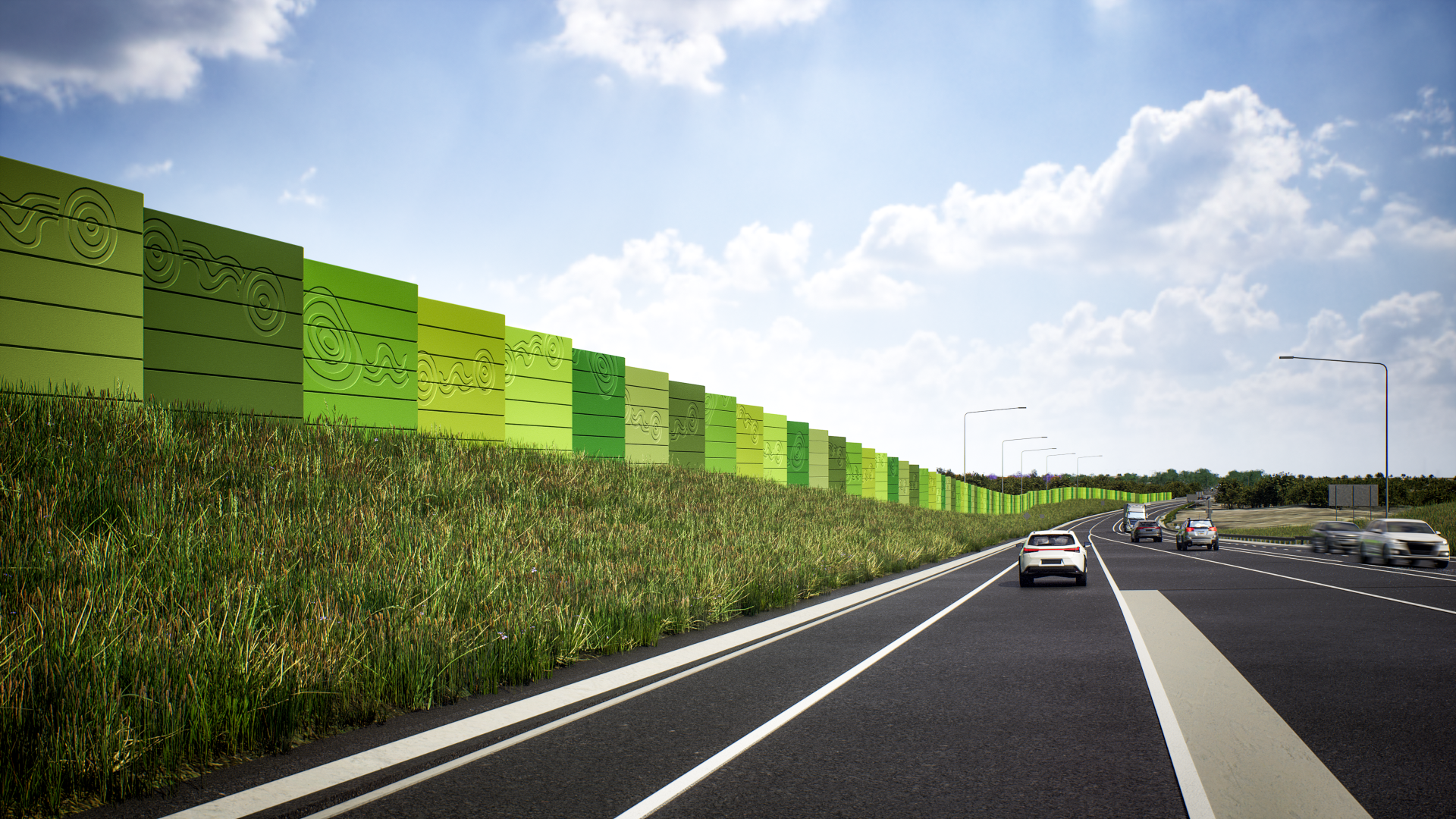
Guided by agreed urban design principles, the project enhances road safety and traffic flows through a series of interventions. Strategic landscaping and bridge structures form landmarks along the road and at the four major gateways—Southern Connection, Putty Road, Gowrie Gates and the Northern Connection—ensuring clarity for travellers and framing key views.
DesignInc provided integrated urban and landscape design for the project, collaborating with ACCIONA (Contractor), Aurecon (Engineering Design), and Nguluway DesignInc (Designing from Country, First Nations Community Engagement) for Transport for NSW.
Collaborative Design Engineering, Connected with Country
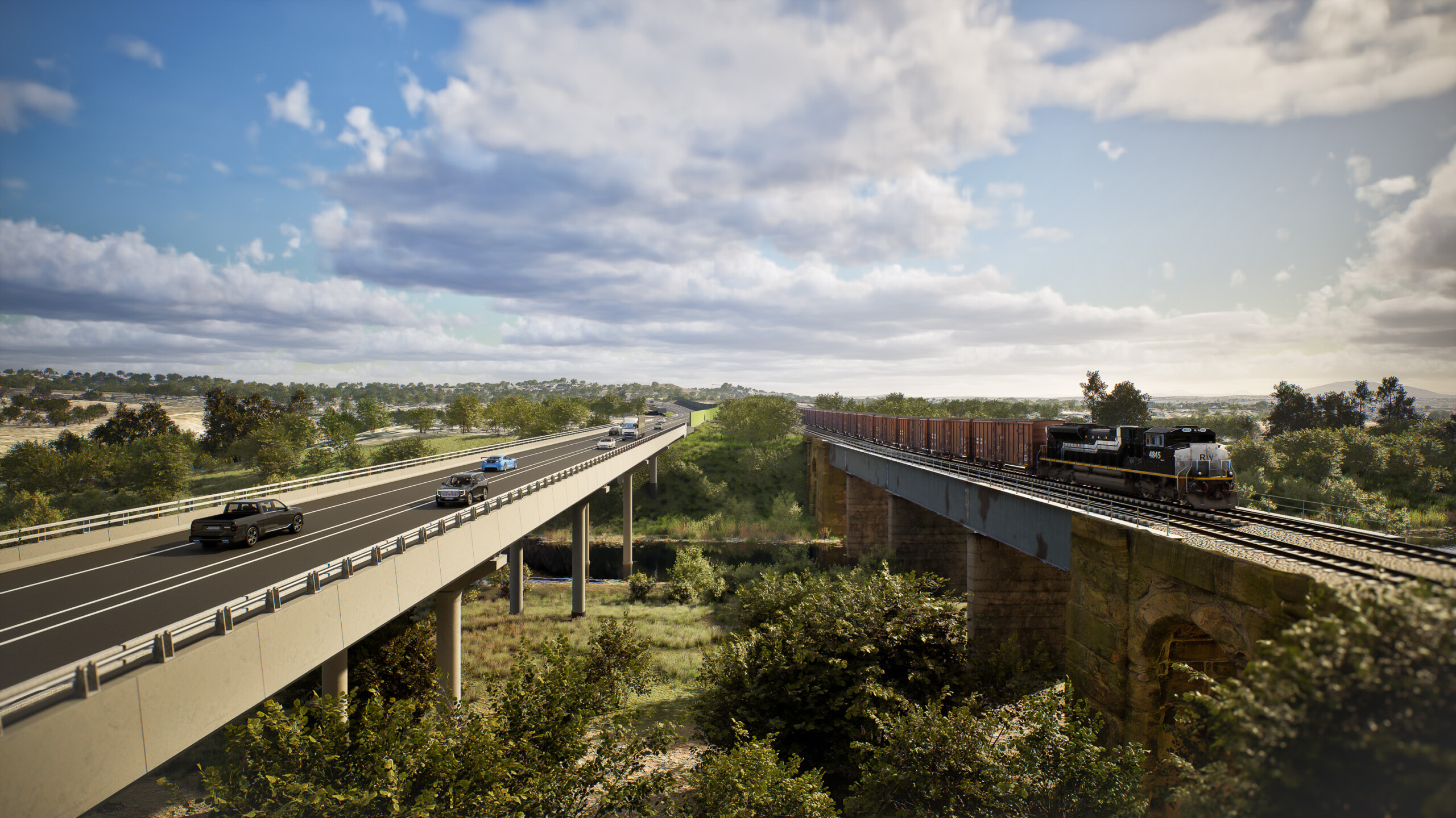
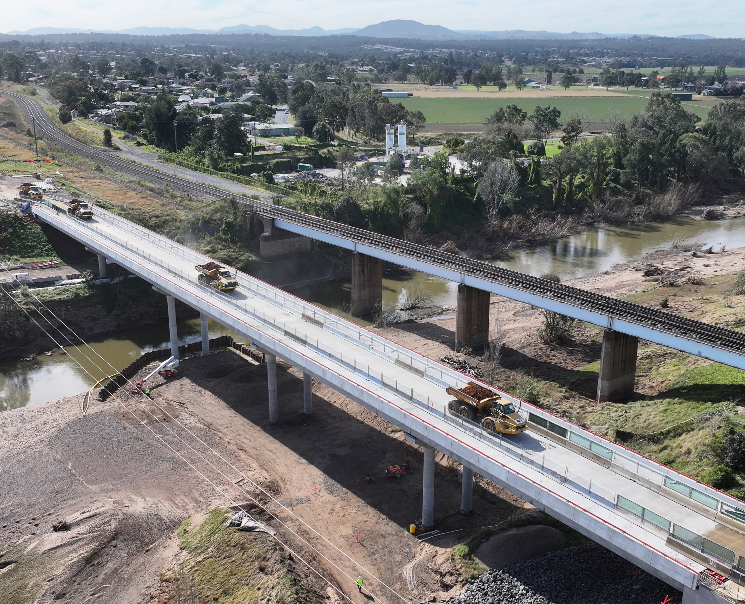
Close consultation with the engineering team at Aurecon ensured a seamless, six-bridge solution traversing the Hunter River, its flood plains and key ecological zones.
Bridges amount to almost 2.6km, including:
- 600m over the Singleton bypass at the Southern Connection
- 1.64km over Main North Railway Line, Doughboy Hollow and Hunter River floodplain, Army Camp Road and Putty Road
- 99m over Rose Point Floodway
- 190m over Hunter River (Mayan)
- 33m over New England Highway at Gowrie Gates
- 37m over the bypass at the Northern Connection
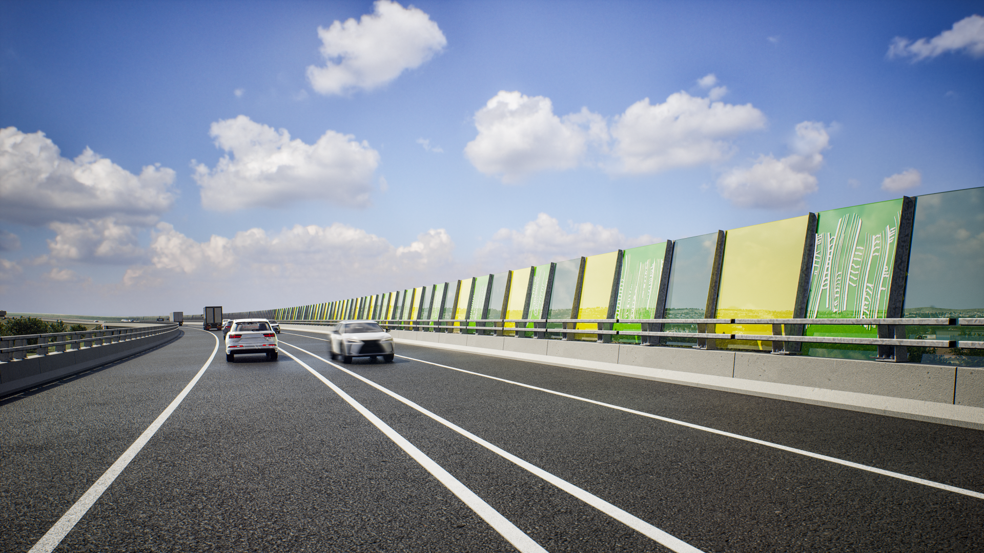
Integrating First Nation’s Connection to Place
Facilitated by Nguluway DesignInc, community engagement with the local First Nations community resulted three iconic Indigenous artworks to enhance the travel experience through the Singleton Bypass.
The artworks facilitated by artist Saretta Fielding in consultation with the local knowledge holders represent the land of the Wonnarua/Wanaruah People in the Singleton area, paying respect to important landscape landmarks including the Mayan (Hunter River), whose wetlands and waters have provided vital resources for countless generations. Knowledge holders spoke of the Singleton area as a central location from which pathways connected people in all directions, reflecting their cultural association with the area and its resulting centrality in their world view.
Landscape as a Navigational Tool
Landscape not only plays a pivotal role in creating intuitive navigation as gateways connecting into townships and local communities but also is a wayfinding tool which creates a sense of arrival. Landscape design at each of the connections is place-specific, responding to the local topography, soil and vegetation communities, providing a consistent, linear identity for the overall route experience.
Landscaping frames the four key connections (south-north)
- Southern Connection
- Putty Road
- Gowrie Gates, and
- Northern Connection.
Landscape is also central to protecting and enhancing the region’s environmental value, specifically its biodiversity. A revegetation strategy of the Singleton Bypass corridor includes landscape treatments such as hydro-mulching or other seeding methods, and plantings catering to local ecology.
Projects

Project
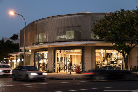
50 James Street
50 James Street is a revitalisation of a building originally designed by our office in 1995. The refurbishment aimed to update the existing—originally a ground-floor retail space with first-floor commercial offices—to align…
Project
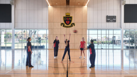
Our Lady of the Sacred Heart College Indoor Sports + Dance Facilities
Our Lady of the Sacred Heart College has unveiled the first major phase of its campus reimagining, a multi-stage Masterplan developed in collaboration with DesignInc. This transformative project is intentionally designed to…
Project
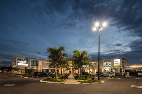
31 Zupp Drive
31 Zupp Drive sets a new standard for Ormeau’s commercial precinct—offering adaptable retail space, eco-friendly design, and seamless visitor experience. Completed in 2024, 31 Zupp Drive stands as the third accomplished project…
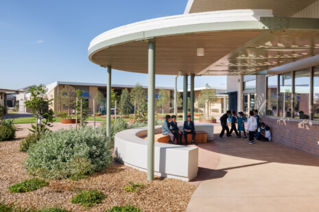
Project
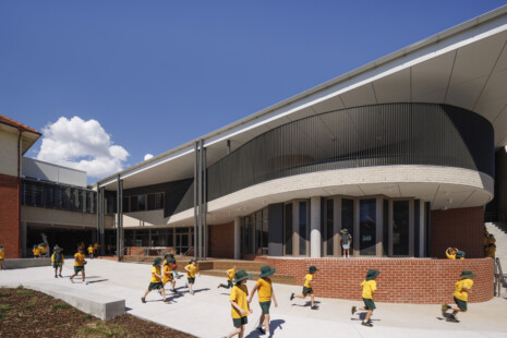
Reservoir Primary School Stage 2 Upgrade and Modernisation
DesignInc has reimagined the life of Reservoir Primary School with a master plan that revitalises the campus’ school heart—coalesced by new buildings and outdoor areas. A new STEAM wing, music pavilion, and refurbished heritage building culminate to create a vibrant learning environment in Melbourne’s north.
Project
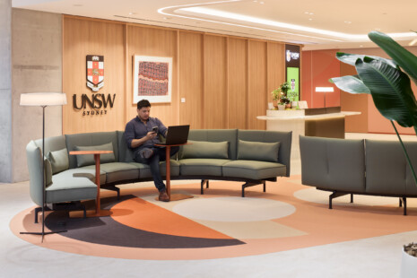
UNSW CBD Campus
A Sustainable Urban Campus for a World-Class University University of New South Wales (UNSW) is one of Australia’s top ranked schools—ranked 19th globally for a second consecutive year in the QS World…
Project
Medlow Bath Station + Footbridge
Improved safety and access for transport in the clouds. Located in Sydney’s Blue Mountains region, the State heritage-listed Medlow Bath Station has completed its accessibility upgrades—headlined by a new footbridge inspired by…